For those of us in Central Texas, the whims of the weather are no stranger. However, unpredictability peaks in the midst of our severe thunderstorm and tornado season, which takes place March through June.
The National Weather Service has issued a Tornado Watch for the Round Rock area, effective until 5 p.m. this evening — Tuesday, April 9. As we brace for more heavy rain and thunderstorms, here are some important tips to keep in mind:
Pay attention to weather reports and alerts
Most people have received automatic messages about flash flooding accompanied by a loud ringer or vibration on their phone — these are notifications through the Wireless Emergency Alerts (WEA) system, which automatically pushes weather alerts from the National Weather Service directly to your phone through a location-based technology. No opt-in is required for these important messages.
Residents can also sign up for Warn Central Texas, a regional notification system to alert the public to emergency situations. Users can choose what types of alerts they want to receive and how they want to receive the alerts, such as text message, phone call and/or email. Alerts are sent based off locations you register on your account, so you can add your home and work locations. To register, visit warncentraltexas.org.
Most importantly, stay tuned in to local news stations and www.weather.gov. Consider purchasing a NOAA Weather Radio if you don’t already have one.
Watches vs. warnings
The National Weather Service (NWS) issues watches and warnings for possible severe weather as appropriate, but do you know the difference?
Severe Thunderstorm Watch:
Be prepared! Severe thunderstorms are possible in and near the watch area. Stay informed and be ready to act if a severe thunderstorm warning is issued. Watches are issued by the Storm Prediction Center for areas where severe weather may occur.
Severe Thunderstorm Warning:
Take action! A severe thunderstorm has been indicated by radar or reported by a spotter producing hail one inch or larger in diameter and/or winds exceeding 58 mph. Warnings indicate imminent danger to life and property. Take shelter in a substantial building. Severe thunderstorms can produce tornadoes with little or no advance warning.
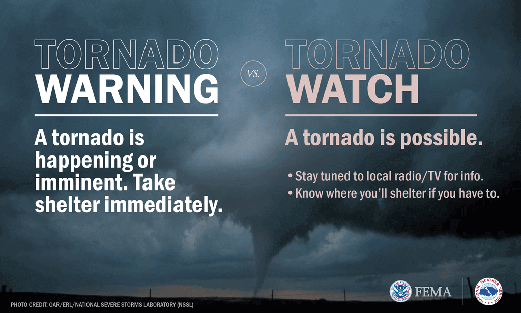
Tornado Watch:
Be prepared! Stay aware. A tornado is possible within the watch area.
Tornado Warning:
Take action! A tornado has been sighted or indicated by radar. There is a danger to life and property. Get to a safe place away from windows, on the lowest floor, in an interior room. Do not stay under an overpass in your vehicle! Being in a vehicle or mobile home is not safe during tornadoes.


